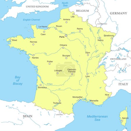
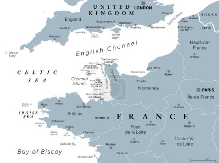
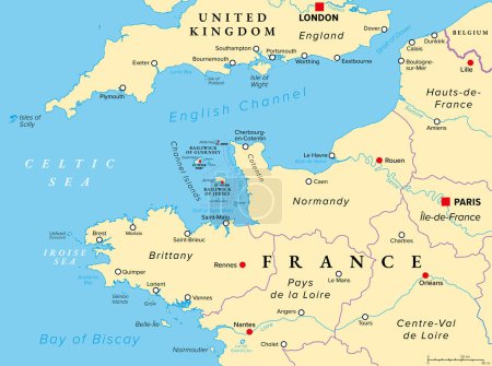
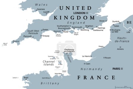
39 Vektoren zum Thema "north channel" bei ClipDealer

Medien sortieren nach     Gehe zu Seite:    
« Vorherige  1  Nächste »
Northern Ireland Political Map
Ireland Political Map
Map of Ireland
Ireland and Northern Ireland political map
Scotland Political Map
Independent Scotland Political Map
Map of the Channel Islands National Park
vector map of canadian marginal sea hudson bay
Electronic devices with the map of Canada
France Political Map
Bering Strait, political map. Strait between the North Pacific Ocean and the Arctic Ocean, separating the Chukchi Peninsula of the Russian Far East from the Seward Peninsula of Alaska, United States.
United Kingdom
Blank Map of Northern Ireland
Map of the Channel Islands National Park
Suez Canal Political Map
night sky with a crescent moon and star.
English Channel political map. Also British Channel. Arm of Atlantic Ocean separates Southern England from northern France and link to North Sea by Strait of Dover. Busiest shipping area in the world.
Vector illustration - map of the United Kingdom of Great Britain
Vector map of the English Channel between United Kingdom and France
normandie regional flag, france
Scotland Flag with Isle of Skye sign
Freshwater Fish of North America. Infographic Poster for Fishing Club. Vector Illustration.
United Kingdom Political Map
British Isles Map
France, political map. Regions of Metropolitan France. French Republic with capital Paris and 13 administrative regions on the mainland of Europe and their prefectures. English. Illustration. Vector.
Copenhagen and the danish flag
UNITED KINGDOM MAP with big cities, UK MAP with borders on grey background
the houses of the old town
autumn in the old town
Flag of the Isle of Man. 10 eps
Scotland Flag with Isle of Man sign
night in the old town
Political map of France with national borders, cities and rivers
Northern France, gray political map. Coastline of France and United Kingdom along the English Channel, and along Bay of Biscay, with Channel Islands. Coasts of Hauts-de-France, Normandy and Brittany.
Northern France, political map. Coastline of France and United Kingdom along the English Channel, and along Bay of Biscay, with the Channel Islands. Coasts of Hauts-de-France, Normandy and Brittany.
Amsterdam vector map with river, channels, main roads, bridges. Grey background, administrative urban borders.
English Channel, gray political map. British Channel, arm of Atlantic Ocean, separates Southern England from northern France, link to North Sea by Strait of Dover. Busiest shipping area in the world.
Vector map of the Canadian Queen Elizabeth Islands
Vector map of the Canadian island of Manitoulin in Lake Huron, Ontario, Canada

« Vorherige  1  Nächste »