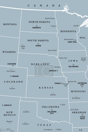
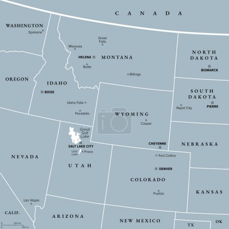
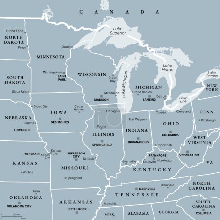
20 Vektoren zum Thema "great plains map" bei ClipDealer

Medien sortieren nach     Gehe zu Seite:    
« Vorherige  1  Nächste »
North Dakota, Oklahoma travel stickers with scenic attractions and retro text on vintage suitcase background
Regions of the United States of America, political map. The nine regions New England, Great Plains, Rocky Mountain, Mid Atlantic, South, West Coast, Midwest, Southwest, Alaska and Hawaii. Illustration
Nebraska map
Vector map of the physical regions of Texas
The traditional cultural areas of the North American indigenous peoples vector map.
37 of 50 states of the United States with a name, nickname, and
Great Plains Region of the United States, gray political map. Sometimes simply the Plains, are a broad expanse of flatland in North America, located between the Rocky Mountain and the Midwest region.
Rocky Mountain region of the United States, gray political map. Rocky Mountains, Rockies for short, divide the western United States from the Great Plains. Colorado, Idaho, Montana, Wyoming, and Utah.
Midwest Region of the United States, gray political map. Midwestern United States or American Midwest, a geographic region, south of Great Lakes, bordered by Mid-Atlantic, the South and Great Plains.
usa state map collection
Sturgis South Dakota United States

« Vorherige  1  Nächste »