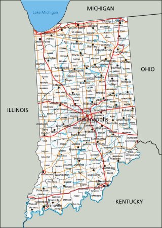
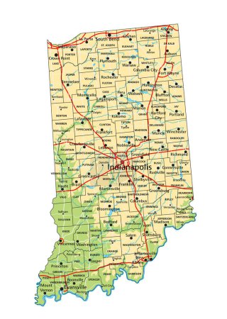
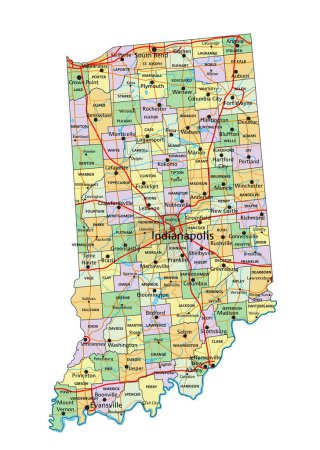
16 Vektoren zum Thema "evansville map" bei ClipDealer

Medien sortieren nach     Gehe zu Seite:    
« Vorherige  1  Nächste »
Evansville (Indiana) blank outline map
High detailed Indiana road map with labeling.
Indiana State on USA Map. Indiana flag and map.
19 of 50 sets, US State Posters with name and Information in 3 Design Styles, Detailed vector art print Indiana map
Indiana, IN, political map, with the capital Indianapolis, and most important cities, rivers and lakes. State in the Midwestern region of the United States of America, nicknamed The Hoosier State.
Indiana State Interstate Map
Indiana County Map
Indiana County Map
indiana flag in state map shape symbol icon
Indiana crest
usa flag in indiana state map shape symbol
19 of 50 states of the United States with a name, nickname, and
Indiana, IN - detailed political map of US state. Administrative map divided into counties. Thin blank black outline map. Vector illustration
Indiana, IN - detailed political map of US state. Administrative map divided into counties. Blue map with county name labels. Vector illustration
High detailed Indiana physical map with labeling.
Indiana - Highly detailed editable political map with labeling.

« Vorherige  1  Nächste »