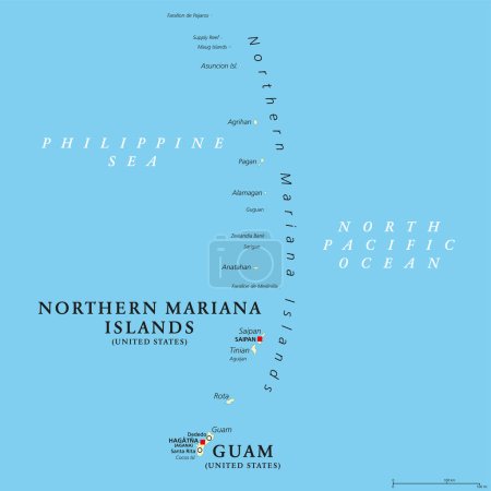
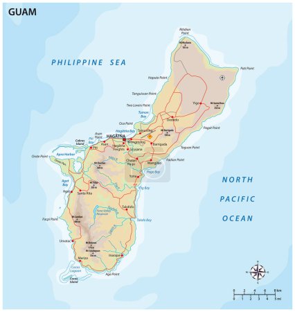
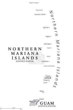
26 Vektoren zum Thema "Philippine Sea" bei ClipDealer

Medien sortieren nach     Gehe zu Seite:    
« Vorherige  1  Nächste »
Road map of the second largest Philippine island Mindanao
Vector map of the Mariana Islands and the Mariana Trench, U.S
Map of Guam a non incorporated territory of the United States
Guam and Northern Mariana Islands, political map. Two separate unincorporated territories of the United States of America in the Micronesia subregion of the Western Pacific Ocean. Illustration. Vector
IJN YAMATO 1941. Imperial Japanese Navy battleship. Vector image for illustrations and infographics.
Map of Guam a non incorporated territory of the United States
Guam and Northern Mariana Islands, gray political map. Two separate unincorporated territories of the United States of America in the Micronesia subregion of the Western Pacific Ocean. Illustration.
Vector map of the Philippine island of Bohol, Visayan Islands
Simple overview map of the Asian island state of the Philippines
Man lies on a hammock
Dream scene with Beautiful beach
Map of Philippines green highlighted with neighbor countries
Philippines set of travel icons with traditional symbols and calligraphic isolated vector illustration
Mom with children on beach
Disputed Territory within the area of The Philippines, China and Vietnam. Editable Clip Art.
Tectonic Plates Names
The Philippine tourism landscape.
Tectonic Plates Unlabeled
philippines flag isolated on the white background
Philippines official national flag, asiatic country, vector illustration
Tectonic Plates Earth
Plate Tectonics Faultlines German
Plate Tectonics World Map Faultlines
Palau Political Map
Plate Tectonics World
Philippines, official national waving flag, asiatic country, vector illustration

« Vorherige  1  Nächste »