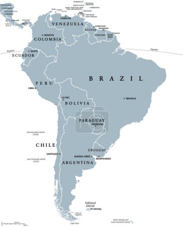
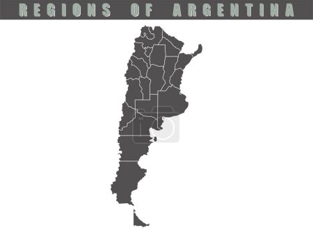
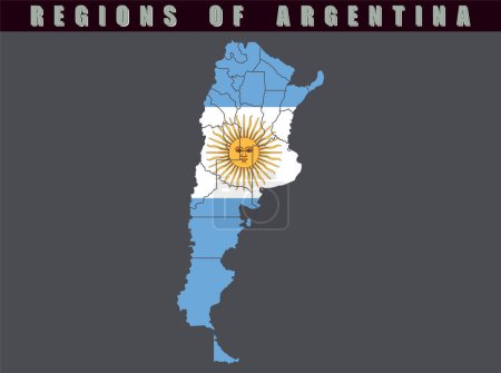
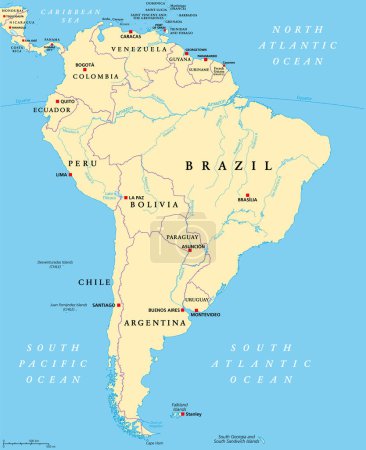
14 Vektoren zum Thema "Falkland Islands boundary" bei ClipDealer

Medien sortieren nach     Gehe zu Seite:    
« Vorherige  1  Nächste »
Falkland Islands vector map. Black icon on white background.
Falkland islands
Argentina - map of provinces
Argentina - map of administrative provinces
South America, gray political map with international borders and capitals. A continent, bordered by the Pacific and Atlantic Ocean, North America and the Caribbean Sea. Isolated illustration. Vector.
Argentina country map. Map of Argentina in gray color. Detailed gray vector map of Argentina by region.
Map of the country of Argentina. Detailed vector map of Argentina by region. Map of Argentina with flag.
South America geographical regions, multi colored political map. Four main regions of the continent, Caribbean South America, the Guianas, Andean States, Brazil and the Southern Cone of the continent.
South America, multi colored political map with international borders and capitals. Continent, bordered by the Pacific and Atlantic Ocean, North America and the Caribbean Sea. Isolated illustration.
South America, political map with borders, capitals and the largest rivers. A continent, bordered by the Pacific and the Atlantic Ocean, by North America and the Caribbean Sea. Illustration. Vector.
Falkland Islands blank outline map
Falkland Islands blank outline map set
Falkland Islands %28Malvinas%29 network map.
Falklands round sign. Futuristic satelite view of the world centered to Falklands. Country badge with map, round text and binary background. Charming vector illustration.

« Vorherige  1  Nächste »