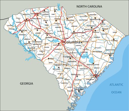
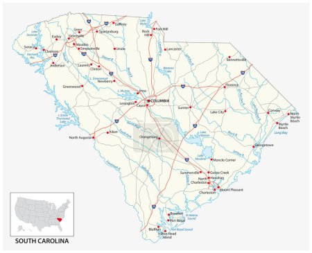
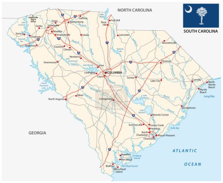
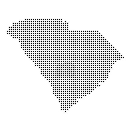
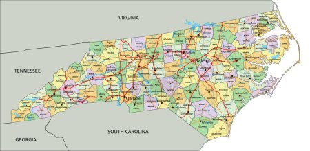
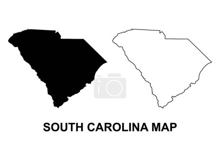
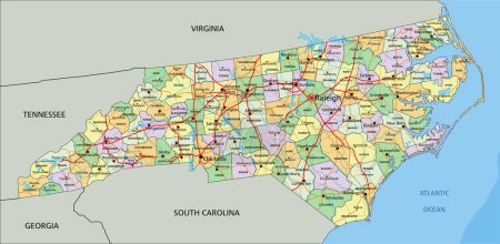
46 Vektoren zum Thema "Caroline du Sud comt" bei ClipDealer

Medien sortieren nach     Gehe zu Seite:    
« Vorherige  1  Nächste »
South Carolina state outline administrative and political map in black and white
South Carolina Map
South Carolina map
South Carolina County Map
Detailed map of South Carolina state,in vector format,with county borders,roads and major cities.
South Carolina County Map
South Carolina USA state map tag cloud vector illustration
Vector South Carolina Map silhouette. Isolated vector Illustration. Black on White background.
Map of South Carolina
High detailed South Carolina road map with labeling.
High Quality map of South Atlantic division of United States of America with borders of the states
Vector set 2 of 10 Highly detailed silhouettes of US state maps, divided into counties with names and territory nicknames
South Carolina counties vector map with USA map colors national flag
Pennsylvania - Maryland - Delaware - Virginia - North and South
South carolina map
Set 1 of 5 Highly detailed vector silhouettes of USA state maps
A Highly detailed map with flag inside of the state of South Car
Set 1 of 5 Division United States into counties, political and geographic subdivisions of a states, Highly detailed vector maps with names and territory nicknames
Map of Chester in South Carolina
Map of Dorchester in South Carolina
Map of Colleton in South Carolina
Map of South Carolina
USA State counties emblem map
Map of South Carolina
The South Carolina State outline map isolated on white background
administrative vector map of the US American State of Georgia
South Carolina map with American national flag illustration
Tennessee - North Carolina - Alabama - Georgia - South Carolina
Flag of South Carolina from brush strokes. United States of America.  Flag South Carolina on transparent background for your web site design, logo, app, UI. Stock vector. Vector illustration EPS10.
Greenville County, State of South Carolina (U.S. county, United States of America, USA, U.S., US) map vector illustration, scribble sketch Greenville map
Set of map and map with province, flag and flagpole of South Carolina state. Vector illustration.
Highly detailed vector silhouettes of US state maps, Division United States into counties, political and geographic subdivisions of a states, South Atlantic - South Carolina, North Carolina, Delaware - set 9 of 17
Winston Salem skyline, north carolina sketch
Map of Carolina state
North Carolina State counties map
Map of South Carolina
road map of the US American State of south carolina
south carolina federal state road vector map with flag
Shape of South Carolina state map with American flag. vector illustration. can use for united states of America indepenence day, nationalism, and patriotism illustration. USA flag design
Charleston Vector Map
South carolina map shape, united states of america. Flat concept icon symbol vector illustration .
North Carolina - Highly detailed editable political map with labeling.
Set of South carolina map, united states of america. Flat concept symbol vector illustration .
North Carolina - Highly detailed editable political map with labeling.

« Vorherige  1  Nächste »