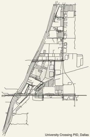
Detailed hand-drawn navigational urban street ... 

Media-ID: B:703924572
Nutzungsrecht:
Kommerzielle und redaktionelle Nutzung
Detailed hand-drawn navigational urban street roads map of the UNIVERSITY CROSSING Public Improvement District neighborhood of the American city of DALLAS, TEXAS with vivid road lines and name tag on solid background
| Vorschau |
Varianten
Mediainfos
|
Dieses Bild mit unserem Kundenkonto ab €0.95 herunterladen!
|
||||
| Standardlizenz: EPS | ||||
| Format | Bildgröße | Downloads | ||
| Vektorgrafik | eps | 1 | ||
| Standardlizenz: JPG | ||||
| Format | Bildgröße | Netto | Brutto | Preis |
|
Web S 0.5 MP |
328x500 Pixel 11.11x16.93 cm (75 dpi) |
€3.90 | €4.17 | |
|
Print M 2 MP |
656x1000 Pixel 5.55x8.47 cm (300 dpi) |
€6.90 | €7.38 | |
|
Print XL 8 MP |
1311x2000 Pixel 11.1x16.93 cm (300 dpi) |
€12.90 | €13.80 | |
|
Print XXL 15 MP |
4000x6100 Pixel 33.87x51.65 cm (300 dpi) |
€15.90 | €17.01 | |
| Standardlizenz: EPS | ||||
| Format | Bildgröße | Netto | Brutto | Preis |
| Vektorgrafik | eps | €9.90 | €10.59 | |
| Merchandisinglizenz: EPS | ||||
| Format | Bildgröße | Netto | Brutto | Preis |
| Vektorgrafik | eps | €79.90 | €85.49 | |
| Media-ID: | B:703924572 |
| Aufrufe: | 1 |
| Beschreibung: | Detailed hand-drawn navigational urban street roads map of the UNIVERSITY CROSSING Public Improvement District neighborhood of the American city of DALLAS, TEXAS with vivid road lines and name tag on solid background |
Nutzungslizenz
| Nutzungsrecht: | Kommerzielle und redaktionelle Nutzung |
Userinfos
| Hinzugefügt von: | momcilo.jovanov |
| Weitere Medien von momcilo.jovanov |
Bewertung
| Bewertung: |
|
Suchbegriffe
| Keywords: |


